Hayfield to Kinder Downfall - July 2007


Walks with a Camera © Geoff’s Pages 2011
On our wander around Llandegley Rocks, we agreed we should try
for another day out soon, if we could get another dry day - a
couple of days later, my friend suggested "...something around
Kinder?" describing a route he'd found in the AA's 1001 Walks in
Britain. "Looks good - let's do it".
75 years ago - on 24 April 1932, to be precise - the now famous
mass trespass on Kinder Scout took place, to highlight the
injustice of exclusion from such areas. The action, and its
aftermath, led in part to the formation of the National Parks, and
more recently the "Right to Roam" on mapped areas of
uncultivated, open countryside - mountain, moor, heath, down
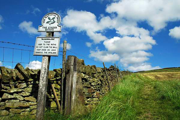
and registered common land. In the meantime, most of the land in
question has passed from private ownership to the National Trust.
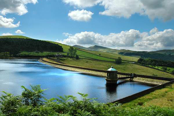
Our walk started at Bowden Bridge car park - formed on the site
of the quarry where the trespass began - and followed its route
beside Kinder reservoir, then up William Clough to
Ashop Head, where we would join the route of the
Pennine Way.
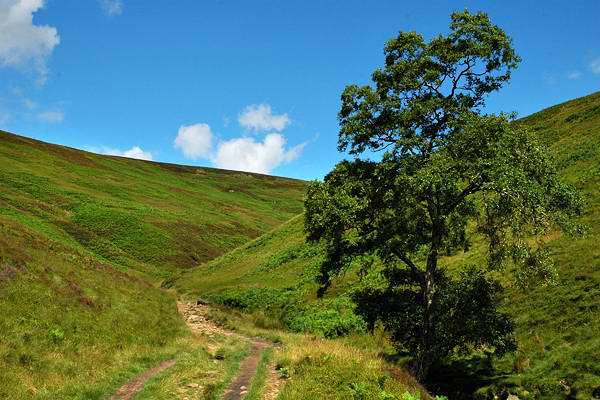
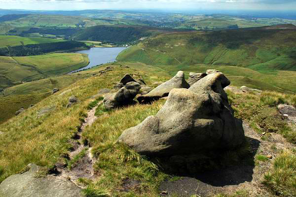
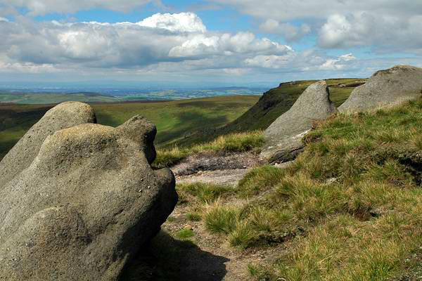
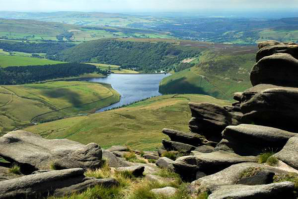
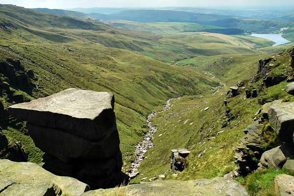
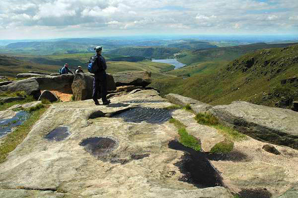
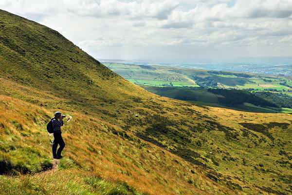
We've climbed the best part of 1,000' here - all
that remains is a short ascent to the edge of the
summit plateau. Kinder Scout marks the highest
point in the Peak District - but anything less like a
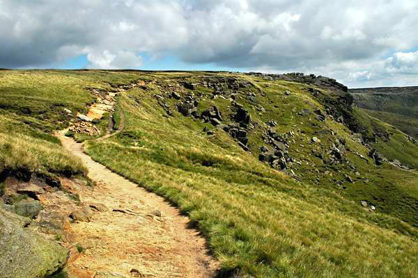
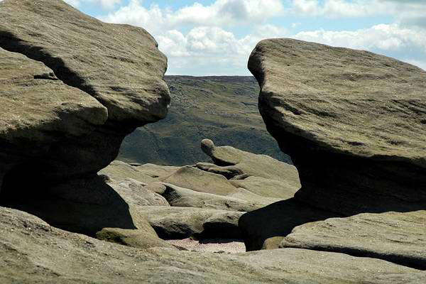
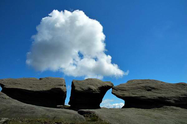
peak is hard to imagine! The edge is very fine
walking territory though, with interesting gritstone formations and
extensive views to the west. On this clear afternoon, we could
just make out the hills of the Clwydian range in north Wales,
perhaps 60 miles distant (not to mention much of Greater
Manchester...).
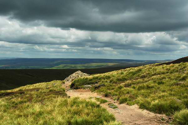
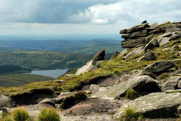
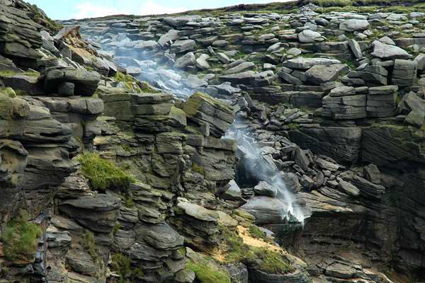
The highlight of the edge is undoubtedly the "Downfall" - the point
where the river Kinder, having made its sluggish way across the
black porridge of the plateau, makes a sudden bid for freedom -
an attempt which, today, was largely in vain - the strong westerly
breeze taking the water straight back up onto the plateau in a
streamer of smoke-like spray.
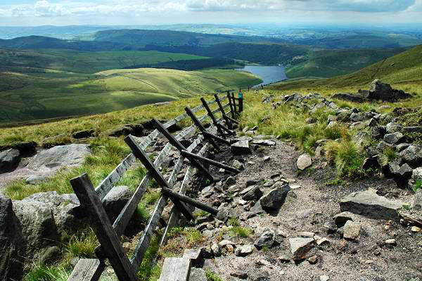
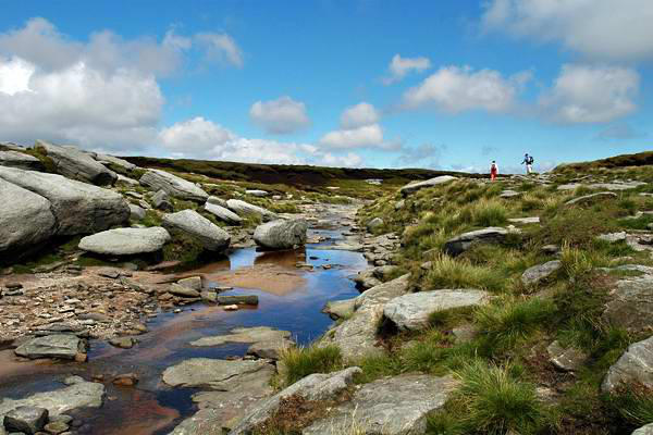
We had started out heading north-east, then followed the edge
south-easterly to Kinder Downfall. We would now take another 90°
turn, continuing along the edge in a south-westerly direction as
far as Red Brook (a mere trickle - there may be severe flooding in
the southern midlands, but up here there was very little evidence
of recent rainfall). Here a little-used path contours gently
downwards to the edge of open country, below Kinderlow End, and
continues through grassy fields to Tunstead Clough Farm. A
surfaced road then leads the short distance back to the car park.
Links:
•
Kinder Trespass website
•
Wikipedia - Mass trespass of Kinder Scout
•
National Trust - Dark Peak