Wild and woolly days in the Galloway Hills near Newton Stewart - July 1998


Walks with a Camera © Geoff’s Pages 2011
"How do we get there?" "Easy - just go
straight up the M6 and turn left at
Scotland...". Pretty accurate directions,
really - the Port road to Stranraer being the
first road of any significance after crossing
the border. A good road too, single
carriageway but straight and wide.
It was mid-day by the time we arrived at Dumfries, so we paused
there for lunch, before taking the coast road to New Abbey. A

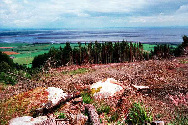
Day 1: Criffel
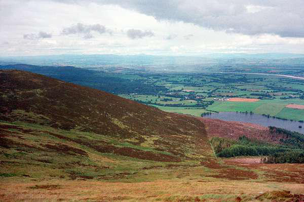
The highest point for today's sortie would
be Craiglee, just 1741ft. But any route
taking in "The Rig of the Jarkness" would
surely be great, with a name like that! In
fact, a few minutes with the OS map
reveals a wealth of wonderful place names
in this region - "Curleywee", "Craigeazle", "Shalloch on Minnoch"
and the gloomy-sounding "Loch Dungeon", to name but a few.
The walk starts in Glen Trool, at Bruce's
Stone, commemorating an historic fixture
when the Scottish team won... I always
feel, on visiting Glen Trool, that really, it's
part of the Highlands - with far fewer
visitors! Climbing above the Garland Burn,
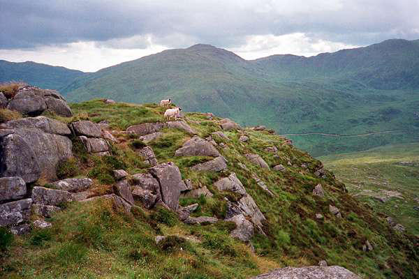
we eventually forded the stream to gain the "Rig" - a fascinating
traverse of little boggy hollows and rocky
outcrops, before arriving at the fine rocky
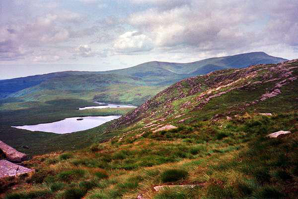
top of Craiglee. Round Loch of Glenhead
and Long Loch of Glenhead are both visible
from the summit....
Descending to the south, we gained the
Southern Upland Way, returning to our
starting point mid afternoon....
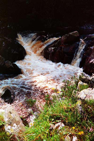
....which meant there was time for an ice
cream at Stroan Bridge, where the peaty
Water of Minnock flows like Guinness
through a shallow rocky gorge, before
taking the car back to Newton Stewart.
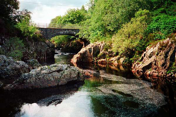
That evening, we drove
down to Wigtown. We had dined well at the Cree
Bridge Hotel the previous evening, but with time
to spare, a short outing and "recce" was justified.
The good citizens of Wigtown will, I hope, forgive
me for commenting that, at a little after 6pm, the
town appeared to have closed down.
Wigtown is trying to develop itself as south-
west Scotland's "Hay-on Wye", with a
number of second hand bookshops setting
up there. "What a claim to fame"
commented John, "'Probably south-west
Scotland's second biggest bookshop' it says
on their sign". We had a few chuckles about this
excessive modesty before realising that it in fact
said "Probably south-west Scotland's biggest
second-hand bookshop", an altogether more
optimistic claim....
....and back, again, to the Cree Bridge.


Day 2: The Rig of the Jarkness


Day 4: Home again
Today, we should have had another full day in the area. The day's
weather forecast was very poor, with strong winds and frequent
heavy rain forecast - not really one for the hills. We left our B&B
and headed, in the car, to the main street of Newton Stewart
where, after buying provisions for the day, we debated what to
do. We were still sitting there when our landlord's son appeared
beside the car, on his bicycle.
"I'm glad I caught you - we thought you'd gone". The
accommodation had been booked, by phone, at short notice. It
transpired that they thought we were staying for just three nights
- I thought I'd booked for four. This perhaps explained the surprise
on our arrival there, when they thought we were one short - "We
were expecting four of you".
Had we really been chased - on a bicycle???
In fact, the minor confusion had done us a
favour. Our rooms had been booked to
another party for the evening, so we
decided to cut our losses and head for
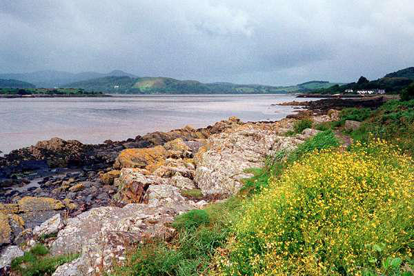
home. We paused at the attractive village
of Rockcliffe, for a stroll beside the rocky
shores of the Rough Firth, but here too, the rains came, so our
stroll was fairly short.
Nevertheless, it had been a good trip, with some most enjoyable
days out on these wild woolly hills. I've a feeling that we'll be
back, one day.
couple of miles beyond, a narrow lane to
the right ends at Ardwall, where the walk -
a very direct ascent - begins to this shapely,
isolated peak, at 1868ft often the most
visible part of
Scotland for climbers
in the English lake district. Wild raspberries
in the lane provided free snacks at the start
and finish of this short foray.


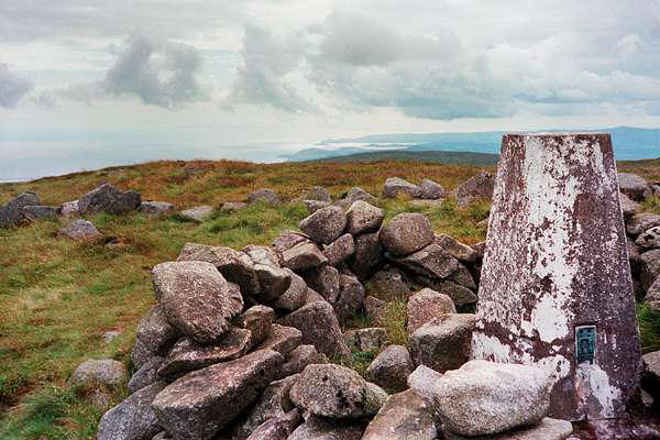
Day 3: The Rhinns of Kells
Another great name! The Rhinns of Kells is (are?) a
fine ridge on the eastern side of the Galloway hills.
We were to join the ridge in the middle, at its
highest point - Corserine, 2669ft (the highest point
in south-west Scotland is the Merrick, 2765ft,
another super outing from the aforementioned
Bruce's Stone in Glen Trool).
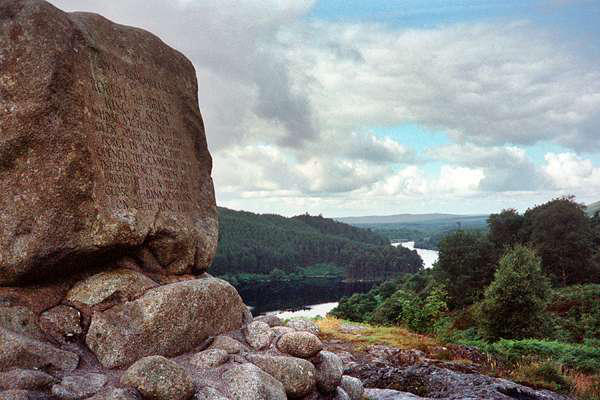
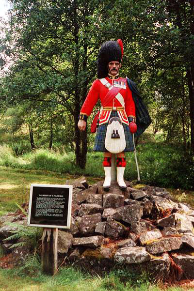
We left the car near Forrest Lodge. Originally, the house was in
open country; now it stands at the heart of extensive
plantations.... The highlander depicted was once the figurehead
of a Fred Olsen Lines vessel. Sunk near the end of the second
world war, it was recovered by divers 20 years later.
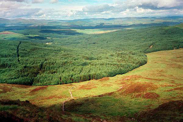
It will have been gathered that, inevitably, the early and late
stages of this walk are in the forest. By the time we escaped from
the regiments of trees, the showers had begun, and waterproofs
remained the order of the day until our walk was nearly over.
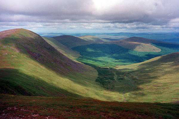
(Later, we learned that Newton Stewart had
suffered a heavy thunderstorm - I wonder if
that's it in the picture of the summit
above?)
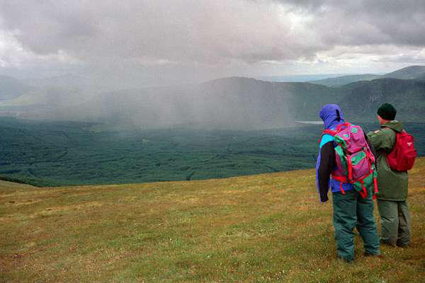
We reached our highest point in a dry spell,
the clear air giving some fine views - providing us some interesting
guessing games as to whether we would suffer the substantial
showers that continued to march around. In any case, the bitter
wind persuaded us to keep the waterproofs on - and the hats,
gloves etc. July in Scotland! - what was that about global
warming?
The ridge southwards provided us with a superb walk, via Millfire
and Milldown to Meikle Millyea. We met the only people we saw all
day here. "We thought we were the only idiots out today" they
greeted us. "You're the first we've seen" I replied, unintentially
causing Tim nearly to wet himself, as he
tried not to laugh out loud. The insult was
quite accidental, of course, and I don't
think they quite realised what I had said.