A 7-mile route in the lonely northern Berwyns - July 2007


Walks with a Camera © Geoff’s Pages 2011
Like many people, I suppose, I've driven along the A5 through
Llangollen, and beside the Dee to Corwen and beyond, without
paying too much attention to the hills north and south of the river.
This little expedition had been in the back of my mind for some
time, however - just hadn't "got around to it"
Moel Fferna is not trivial - a little over 2000' in
height, it is the highest point north of the main
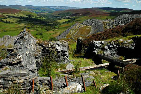
Berwyn peaks. It's also the name of a former slate
mine, some way below the summit. The mine was
once connected, via the lower
Deeside Slab quarry, to the main
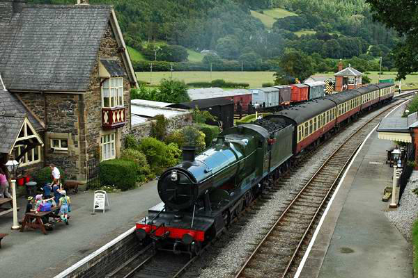
line sidings at Glyndyfrdwy, which
once again sees passenger trains on
the Llangollen Railway - but no more slate traffic.
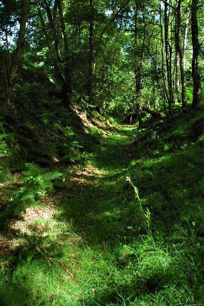
The connection took the form of a narrow gauge
tramway, which achieved its place in the history
books as being the last place - in the British Isles
at any rate - to see the use of wooden rails. Much
of the route of the tramway is walkable - some of it, including the
uppermost stretch, forming part of the "North
Berwyn Way". No, we hadn't been aware of that
path beforehand - but our routes coincided from
time to time.
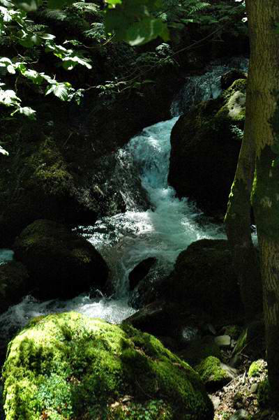
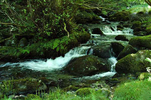
We left the car near Glyndyfrdwy station, and
headed up the Nant-y-Pandy - a superb if little-
known route to the hills, with beautiful wooded
cascades, and the remains of the Nant-y-Pandy slate mill, which
closed in 1923 when the slab quarry ceased
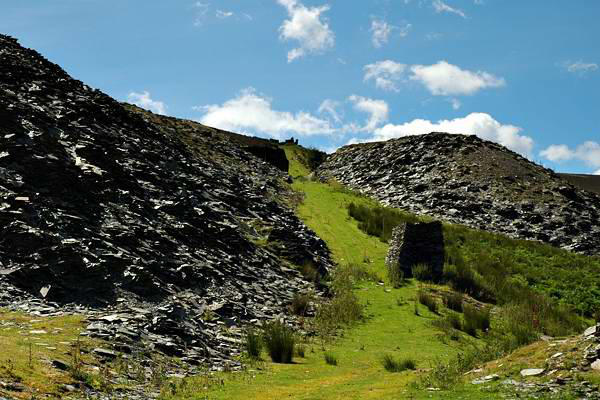
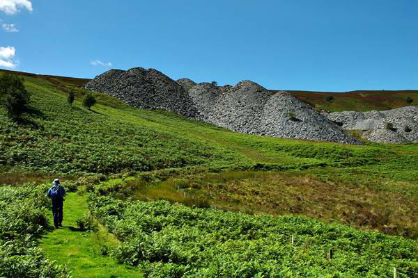
to operate. Eventually we made our way to
the latter, with its air of desolation. Taking
the steep incline to the upper level of the
tramway, we then skirted the open hillside
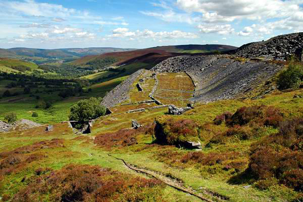
to the Moel Fferna mine, which operated
until the 1950s. We paused for lunch here; although many years
have passed since it last operated, the derelict buildings and
remains of the incline (some lengths of steel cable remain) seem
much more recent.
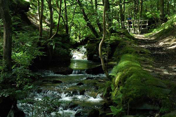
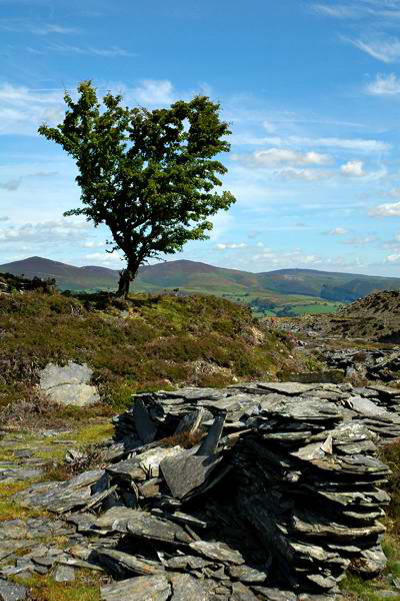
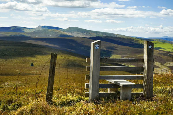
The North Berwyn Way seemed to go off in the wrong direction -
so we took to the deeply heather- and bilberry-clad hillside and
headed towards the summit (meeting, after
a struggle and significant consumption of
fine juicy bilberries, the NBW again -
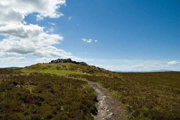
clearly it took an easier route). On reaching
the summit ridge, and eventually the
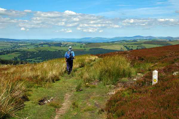
summit, a fine view opens out in all
directions. To the south, the main Berwyn peaks dominate.
Eastwards, we could make out Shropshire's Wrekin and Clee hills.
To the west, the whole of Snowdonia lay on the horizon, while to
the north, beyond the Vale of Clwyd, was the sea.
Despite the views, we only stayed long enough for a quick drink -
the still air and swarms of insects (predominantly flying ants)
encouraged us to keep moving. A clear path descends to the north,
after a while picking up, yet again, the North Berwyn Way.
Gradually we made our way back down to the Dee Valley on this
route, where we would catch a Llangollen Railway service back to
Glyndyfrdwy and the car. There was still more than an hour before
the train however, and a nice little pub at Carrog beckoned...


The "official" route is described, with a map, as the
North Berwyn Way "Quarry Circuit"