The first (or last) 8 miles - from Llangynllo to Knighton - December 2004


Walks with a Camera © Geoff’s Pages 2011
"I'll give you returns - they're cheaper than singles" replied the
conductor on the train, the 9.46 from Knighton. The train, just a
single carriage, provides a service between Shrewsbury and
Swansea, taking just under 4 hours for the leisurely and scenic
journey through central Wales. We would be on it for no more
than 12 minutes, travelling to the next-stop-but-one, Llangynllo
station, high in the hills above the village of the same name, and
an excellent place to start this walk. Four red kites wheeled
above the hillside opposite - surely a good omen for the day?
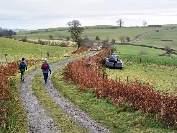
Glyndwr's Way stretches for 132 miles between Knighton and
Welshpool, via Machynlleth. Our walk today would provide a fine
introduction to the route, across the high grassy uplands west of
Knighton. The weather had threatened some drizzle - after a
frosty start at home, low cloud drifted across and made us use
the windscreen wipers on the journey to Knighton, then continued
to streak the train windows as we climbed into the hills. We put
the waterproofs on as we began our walk - which seemed to
ensure that, after the first few yards, it cleared and remained dry
for the rest of the day.
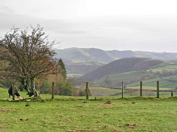
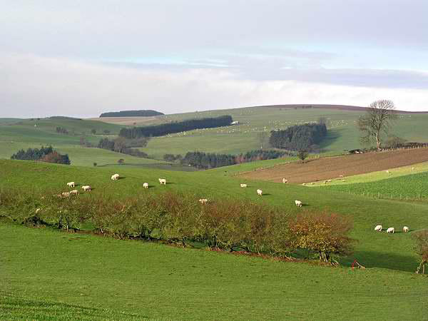
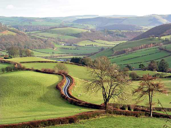
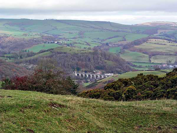
There are fine views in all directions - the path stays at a high
level until the approach to Knighton - with views to the Shropshire
hills to the north and east, and the 2000' dome of Radnor Forest
(with cloud clinging to the summit plateau) to the south. About
halfway, the view opened up toward Knucklas, where the viaduct
we had crossed earlier could be seen.
My 1:25,000 map showed the last mile or so into Knighton along
(mostly quiet) roads - since it was printed*, a new route has been
waymarked, following a mostly pleasant (if somewhat muddy)
route through woodland on the north side of Garth Hill until the
outskirts of Knighton are reached. From here, the waymarkers
have worked hard to create a route through the various alleyways
and lanes, bringing walkers to the top of the steep and narrow
High Street.
We walked the short way back to the car, to remove muddy
boots, and headed back into Knighton in search of a bite to eat
and a well-earned pint. We found six pubs / hotels - but only one
serving food, in small, smoky and crowded bar / lounges. We
tried elsewhere - but of the others, only one was open - and it
offered nothing beyond the usual crisps and nuts. The aroma
from the chip shop a little lower down the High Street beckoned -
so it was fish and chips for three, and they were very good too...
*and the most recent editions show that the route has been
further revised, such that only a short stretch - from Downes
Dingle to Little Cwm-gilla - coincides with the route on my map.
We’ll have to go back and do it again...