The weather, that is - I'm sure we had the only five consecutively rain-free days in the year - July 2000


Walks with a Camera © Geoff’s Pages 2011
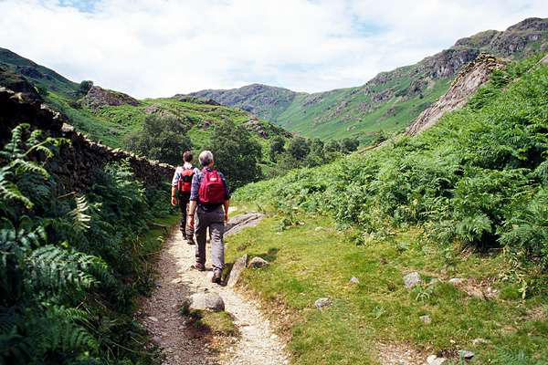
Travelling from the south, we took the route through the heart of
the Lakes, stopping in Grasmere around lunchtime. Sandwiches
eaten, we booted up (so to speak..) and headed up the very
attractive valley of Far Easedale.
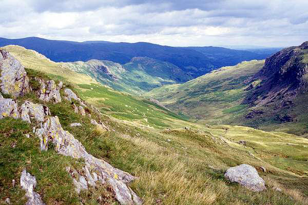
On arriving at the head of the valley, we
left the path to wend its way towards
Borrowdale, and turned right onto the
fascinating ridge which winds, via Calf Crag
and Gibson Knott, to Helm Crag, with its
unusual summit rocks. Time for a quick
snap - then back down to Grasmere.

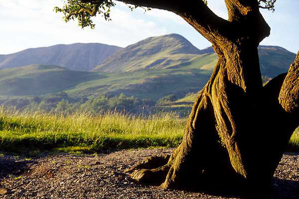
Day 1: Far Easedale and Helm Crag


Day 2: Whiteside, Hopegill Head and
Grasmoor
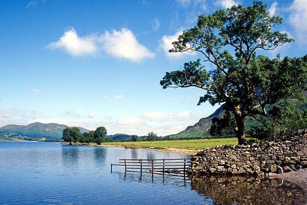
After our first night in Buttermere, and our first visit to the
excellent local hostelries, our first full-day outing.
Our objective today was perhaps not the most typical from
Buttermere. We walked "at ground level" via Buttermere Hause
almost to the foot of Crummock Water, at Lanthwaite Green,
there taking a very steep path up the heather and bilberry-
covered slopes of Whin Ben to Whiteside.
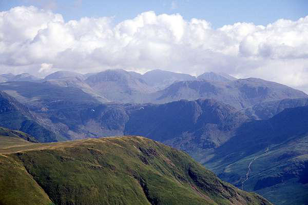
A superb ridge walk then took us to Hopegill Head. After a quick
inspection of Hobcarton Crags, we followed the
high level route southwards via Coledale Hause
towards Whiteless Pike and back to Buttermere.
We took the detour, en route, to the rounded
summit of Grasmoor, the day's highest altitude
(2791ft), though not really its highlight, that
honour being due to the ridge mentioned earlier.


Day 3: The Buttermere Round
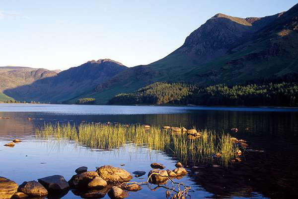
Evening, Day 2
Well, we can't spend all evening in the pub, or we'd never
manage the next day's walking - and the light really was superb.
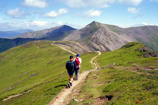
This classic route follows the ridge to the south-west of
Buttermere, taking in the summits of Red Pike, High Stile
(2644ft) and High Crag. We began with the scenic climb beside
Scale Force, followed by the slightly dull trudge across the
heather to the ridge above Ling Comb.
A leisurely stroll took us to the three summits, before taking the
steep descent to the hause of Scarth Gap pass. Real men would
then continue over Haystacks, but the day, now hot, was ticking
by, and the ice-cream shop at Buttermere beckoned, so we
descended to the lakeside path and returned to our starting
point.

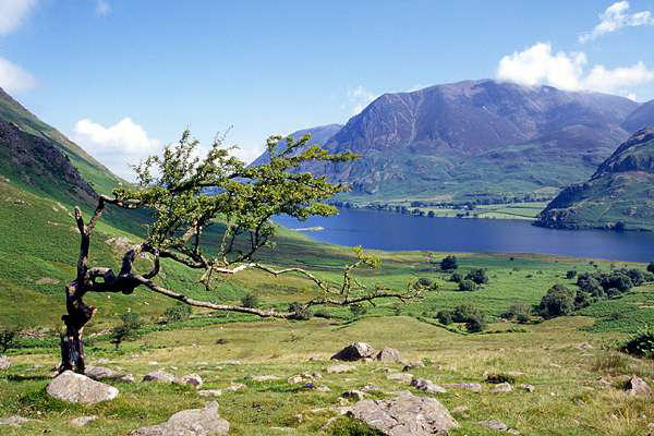
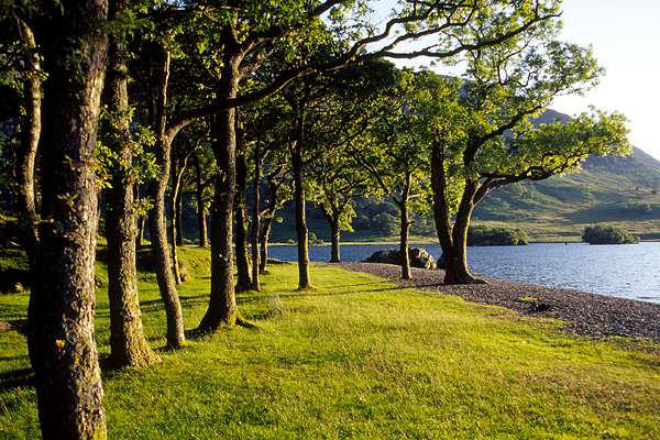
Evening, Day 3
This time, the shores of Buttermere were the subject for an
pleasant evening's stroll

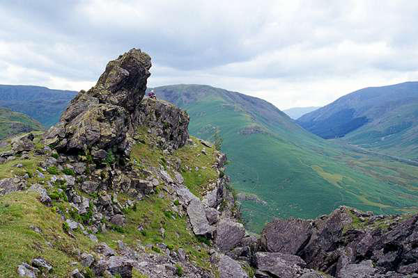
Day 4: Great Gable - up and around
We took the car to the top of Honister Pass, then walked up the
old tramway incline to join Moses' Trod for a short way, before
cutting off to the left to the summit of Green Gable. We
continued via Windy gap to the stony slopes of Great Gable,
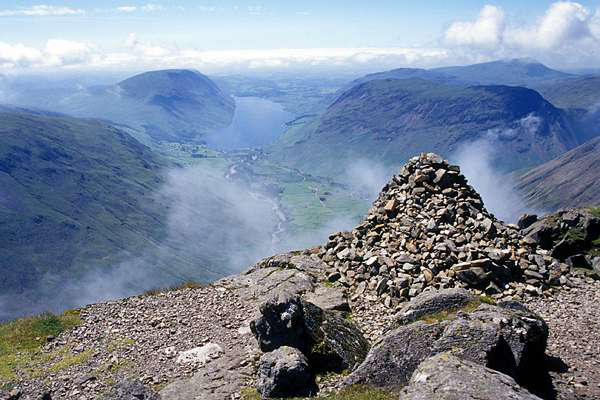
arriving at the summit (2949ft) in nice time for lunch.
A visit to Westmorland Cairn is worthwhile - the view down into
Wasdale is superb, augmented on this occasion by small patches
of mist forming below us, then whisking past over our heads
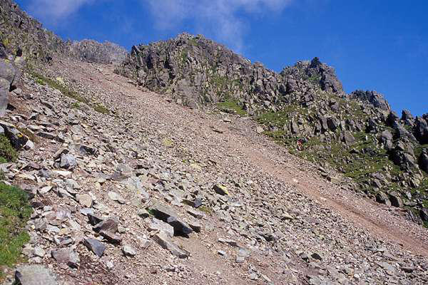
We now followed the Sty Head path almost to the pass, before
turning sharp right and joining the south traverse path. Thus we
skirted the crags and traversed the scree runs of Great Hell Gate
and Little Hell Gate to return to the aforementioned Moses' Trod,
which provides an excellent high level route back to the top of
the incline.

Day 5: Home again - via
Nine Standards Rigg
Leaving Buttermere after breakfast, we
headed east via Penrith and Kirkby
Stephen, there taking the high road which
heads towards Swaledale.
At the summit of the road, a patchy path
can be followed across limestone pavements, up onto the
shoulder of high land which bears the "Nine Standards" - tall,
ancient cairns which overlook the countryside to the north and
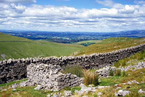


west. One story has it that they were built to deter marauding
Scots, who would think they were an army of tall men.....
...and on our return to the car, there was
still time for a late lunch at the quiet local
in Nateby, before heading back towards the
M6 and home. Five consecutive great days -
and not a drop of rain - fantastic!