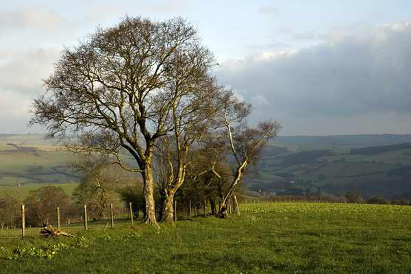
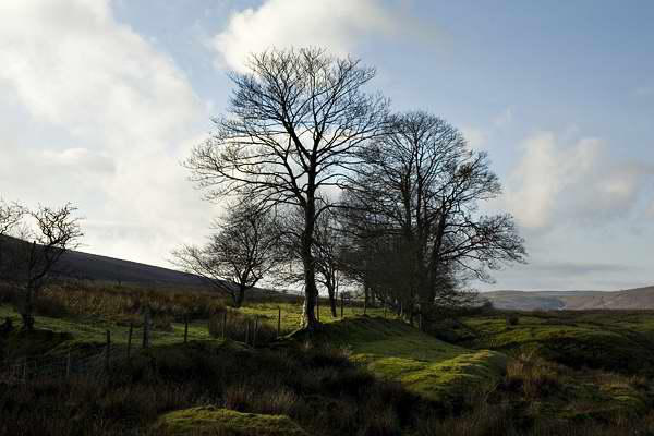
A breezy day in the Welsh border hills near Knighton, 8 miles approx. December 2006


Walks with a Camera © Geoff’s Pages 2011
As ever, we'd intended to have a day out over the Christmas
period, but the weather seemed against us, with fog, mist and
murk for day after day. We pencilled in the last Thursday of the
year - it might be the only day we could manage anyway - and,
amazingly, the weather was fine after the
overnight rain. A steady breeze, white puffy
clouds, sunshine and blue sky - what more could
one ask? (a slightly greater proportion of blue sky
to white puffy cloud, perhaps...)
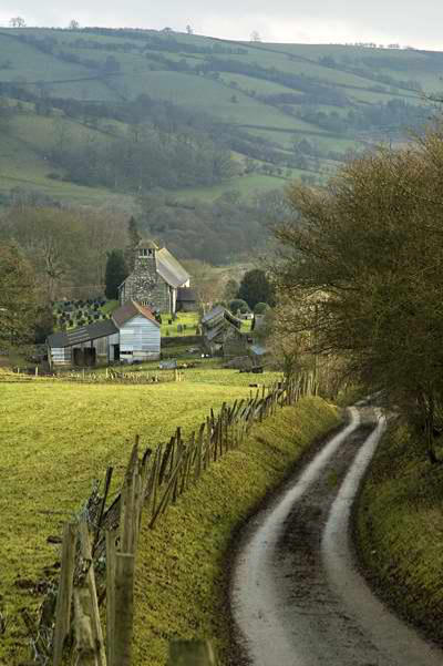
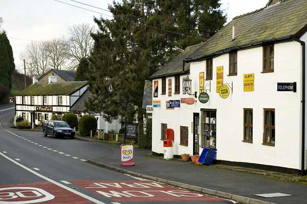
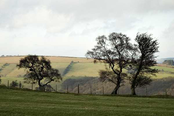
Beguildy (or Bugeildy, to use its Welsh equivalent)
is a hamlet on the B4355 from
Knighton to Newtown, and it was here we left the
car. Our route would be, more or less, a
circumnavigation of the watershed of the Warren
Brook which joins the Teme a few yards
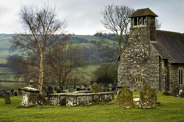
downstream from Beguildy. A quiet surfaced lane
up past the church makes the ascent to these high,
windswept grasslands relatively easy. Leaving the
lane at Cefn Pawl, we join Glyndwr's Way - we've
walked a stretch of it before, a couple of years ago, on the last
few miles into Knighton - see Glyndwr's Way.
We did another walk in these remote hills two years before that -
Moel Wilym - and as we headed southwards
across Warren Bank to Black Mountain, we
could clearly see some of that walk's higher
points, just a few miles to the west.
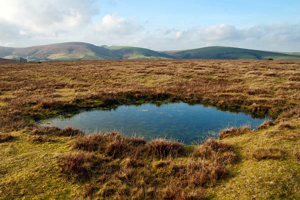
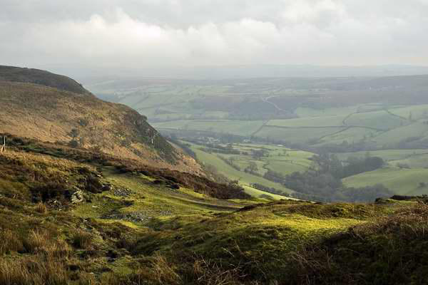
Further south again, on the shoulder of
Stanky Hill, a faint path cuts away to the
left and heads for the trig point on Beacon
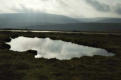
Hill. Two ladies descending the path warned us that the view
might not be great - a patch of mist had formed on the higher
ground - but it cleared sufficiently for us to
take in the panorama of rolling hills in all
directions. At 1796', this is one of the
highest points in the area, although the
2000' plateau of Radnor Forest, a few miles
to the south, tends to limit the view in that
direction.
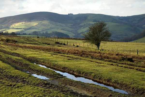
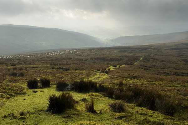
There aren't many paths in this area. For our return route, I'd
planned to follow a marked footpath to the Rhoshay ridge - but
the only feet that had used the paths we found, after a struggle
through deep heather, were attached to round woolly bodies...
A good track then follows the ridge, before a final descent
through fields to the farmyard and the Warren Brook at
Pantycaragle - and the final ¼mile along the road back to
Beguildy.